


Payment & Security
Vaše platební údaje jsou zpracovávány bezpečně. Neukládáme údaje o kreditní kartě ani nemáme přístup k informacím o vaší kreditní kartě.
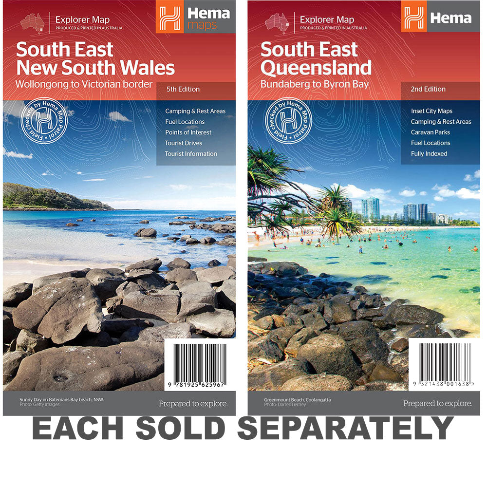
Don’t Miss These Deals!


Popis
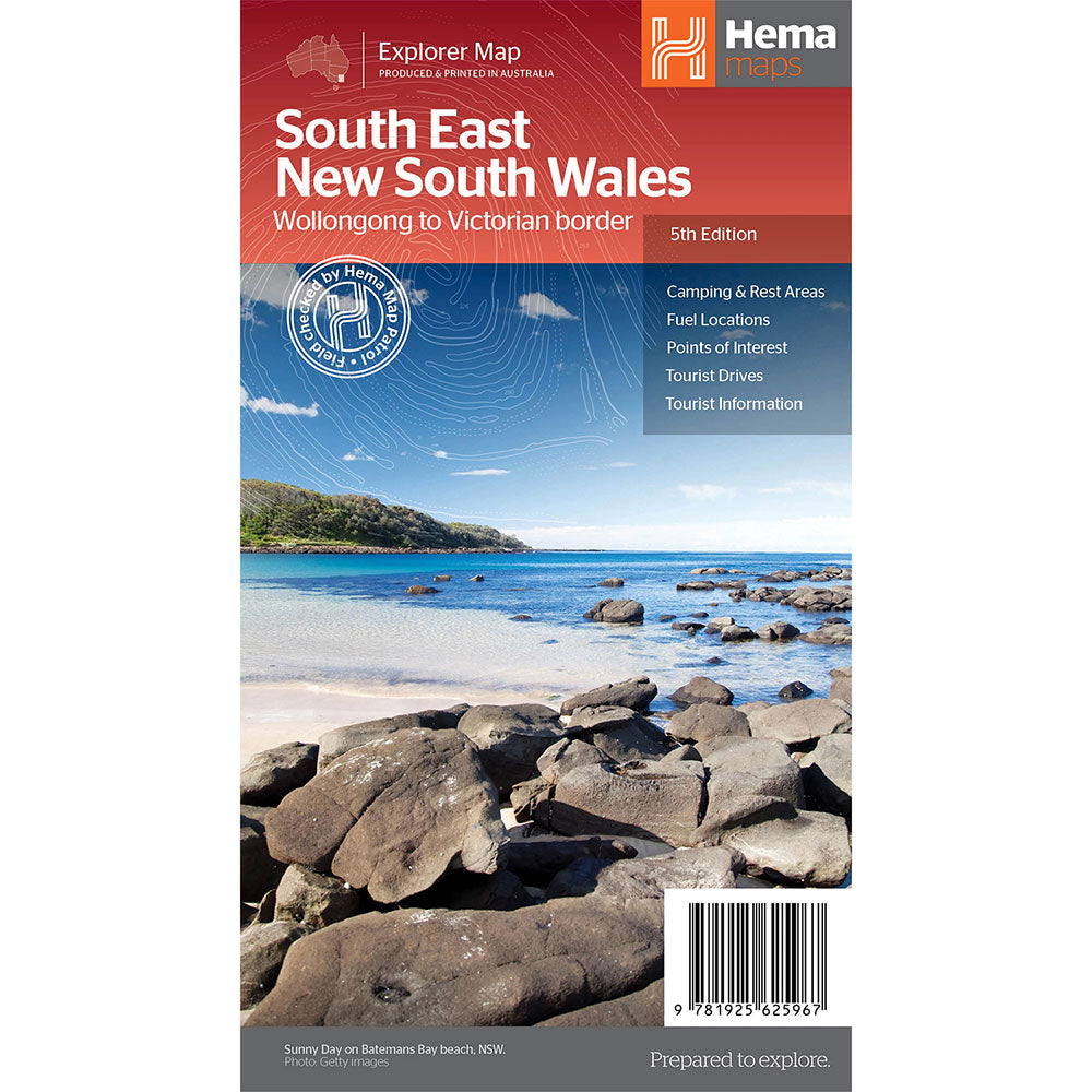
A regional map of South East New South Wales (1:385,000) that ranges from Wollongong down to the Victoria border and out to Gundagai and past Jindabyne in the West.
Covered regions in the map include; Illawarra, Jervis Bay & Shoalhaven, Batemans Bay, Canberra & surrounds, Merimbula & Sapphire Coast, Southern Highlands, Goulburn Region and the Snowy Mountains.
On the opposite side is extensive information on numerous regions, including visitor, historical and background information.
Comprehensive map of South East New South Wales, Camping & rest areas, Fuel locations, Tourist drives, Detailed National Park Listing with facilities, Tourist Information Centres
Product Specifications
- Comprehensive map of South East New South Wales
- Camping & rest areas
- Fuel locations
| Length : 25 cm | Width : 14 cm |
| Height : 0,3 cm |

Dopřejte si neuvěřitelné úspory!
Produkty na prodej - Nakupujte hned!

Objevte naši nejnovější sbírku!
Nové příjezdy - Nakupujte hned!

Snadné návraty
365denní záruka zdarma

Nakupujte a plaťte ve své měně
Nyní doručování do 40+ zemí

100 000+ produktů
Úžasné značky. Všechny dárkové příležitosti.
Související produkty
Top Selling Items


Trending Products