


Payment & Security
Vaše platební údaje jsou zpracovávány bezpečně. Neukládáme údaje o kreditní kartě ani nemáme přístup k informacím o vaší kreditní kartě.
Don’t Miss These Deals!


Popis
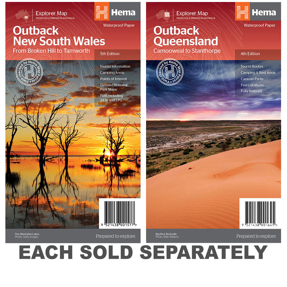
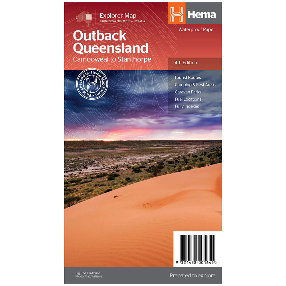
Outback New South Wales Map(5th edition)A regional map of outback NSW (1:1,100,000) that ranges from Tamworth in the east to Broken Hill in the west, as well as from Wagga Wagga in the south to past the Queensland border in the north.
On the opposite side is extensive information on numerous regions, including visitor, historical and background information.
Covered regions include the Broken Hill region, Corner Country, east of Tibooburra, the White Cliffs region, Cobar and surrounds, around Back o'Bourke, Lightning ridge and surrounds, Wentworth region, Balranald, Griffith region, Dubbo and surrounds, Kinchega National Park, Mungo National Park, Sturt National Park and Mutawintji National Park.
Detailed National Park Maps, Tourist information, Camping areas, Points of interest
Product Specifications
- Detailed National Park Maps
- Tourist information
- Camping areas
| Length : 25 cm | Width : 14 cm |
| Height : 0,3 cm |

Dopřejte si neuvěřitelné úspory!
Produkty na prodej - Nakupujte hned!

Objevte naši nejnovější sbírku!
Nové příjezdy - Nakupujte hned!

Snadné návraty
365denní záruka zdarma

Nakupujte a plaťte ve své měně
Nyní doručování do 40+ zemí

100 000+ produktů
Úžasné značky. Všechny dárkové příležitosti.
Související produkty
Top Selling Items


Trending Products